In the morning of Monday, we witnessed with bewilderment some political reactions regarding the meteorological event that, over the weekend and into yesterday morning, brought substantial amounts of precipitation to extensive regions of our country. Among other statements, there were calls to refine the forecasts.
In a context where the occurrence of extreme events is becoming increasingly frequent, where there is clear evidence of a trend towards greater precipitation concentration in much of the Iberian Peninsula, it is highly irresponsible to engage in a sterile debate about the reliability of weather predictions. This drift can foster citizens' mistrust in the science and knowledge behind the forecasts that drive warnings. The conclusions of this public debate will determine whether these words do not influence and sow doubt about emergency alert systems on future occasions.
Meteorology involves the so-called "chaos theory" due to the extreme sensitivity to the initial conditions of atmospheric modeling. The equations used in them describe the movement of fluids, such as air in the atmosphere, in a non-linear and complex manner. Small variations in the initial atmospheric conditions can lead to drastically different outcomes. This phenomenon, known as the "butterfly effect," makes weather prediction, even in short-term, a challenge. Not even the most detailed equations consider all variables (due to data limitations or model resolution).
Models have improved but are not perfect
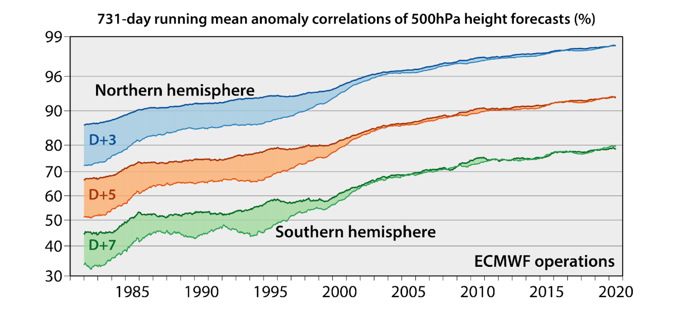
Despite the complexity, weather prediction has improved in recent decades. Extreme events like this DANA, which brings heavy precipitation, occur almost every year somewhere in the Iberian Peninsula, but they have never been predictable with tools of the current quality. Thus, events like the one in Tous in 1982 in Valencia, with precipitation amounts exceeding 600 mm, which caused the rupture of a dam and flooded an area similar in size to the city of Madrid, were predicted as best as possible at the time, given the scarcity of resources and the elementary nature of meteorological models.
Despite this significant improvement and reduction in the margin of error, it will always be present in any forecast, tending to be greater when there is more convective instability in the situation. This is because these phenomena generate the greatest uncertainty in model prediction due to their complexity and resolution.
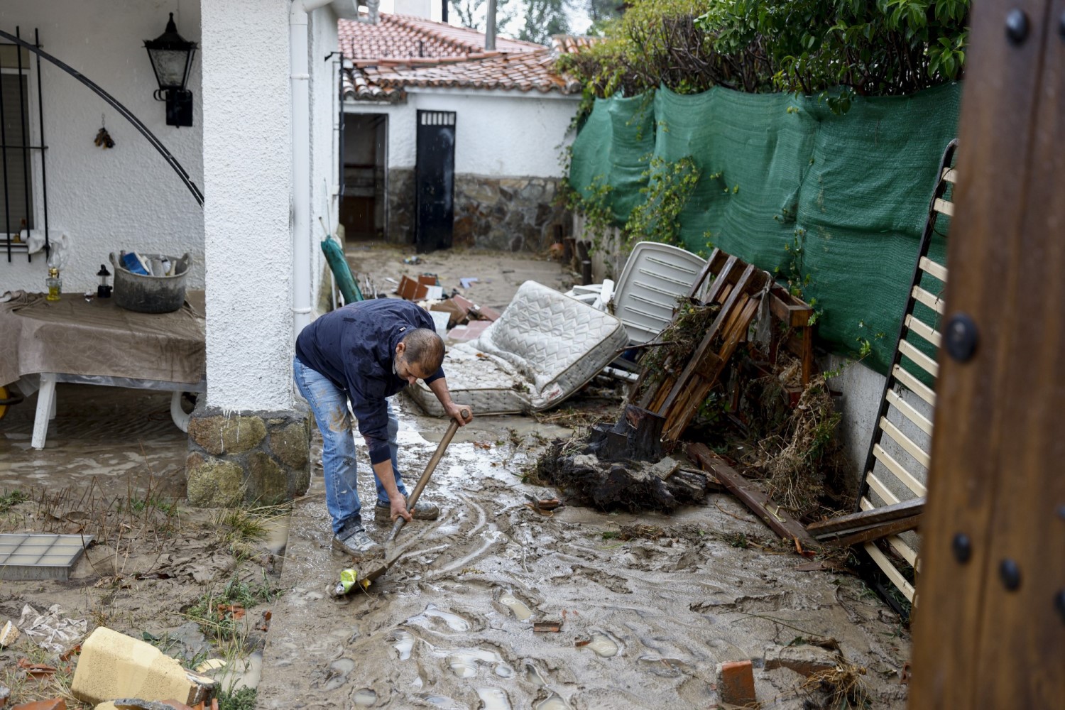
For Sunday, September 3rd, the main models showed a prediction of intense rain for the city of Madrid and its metropolitan area. However, the line of storms ultimately shifted 50 km from the main estimates, making a small spatial error but not in the predicted precipitation amount, as evidenced by the flooding that occurred west of the Community of Madrid and Toledo. Probabilistic models even provided average precipitation amounts that exceeded the threshold for a red warning in some areas of the metropolitan area.

The importance of mobile alerts
Meteorologists know well that one cannot consider the consequences of the forecast when making it, as this would lead to more misunderstandings and worse outcomes. This is something that no public debate can change. Therefore, meteorological models will continue to improve in the coming years, but they will never achieve a one hundred percent accuracy.
For all these reasons, it is necessary that, in the hours between the forecast and the expected event, there is thorough monitoring. This can be done with existing real-time monitoring tools (remote sensing, satellites, radar, and weather stations). Furthermore, this monitoring must be coordinated with civil protection and the relevant authorities, monitoring the event through an optimized protocol.
This way, through precision alerts like those sent via SMS by civil protection, more accurate warnings could be issued based on the event's evolution. This is very common in the United States with severe storms, which are associated with very adverse phenomena such as tornadoes and large hail, and adapted to our protocol, it could be a very useful tool.
Finally, it is of particular importance that communication of the uncertainty associated with extreme events meets the great challenge of achieving an intuitive perception of probabilistic uncertainty among the public. The importance of communicating uncertainty, understanding how we interpret and reason about the uncertainty of space and time becomes very evident in emergency situations.

