The wildland-urban interface, which is vulnerable to fires, has grown by 35% since 2000
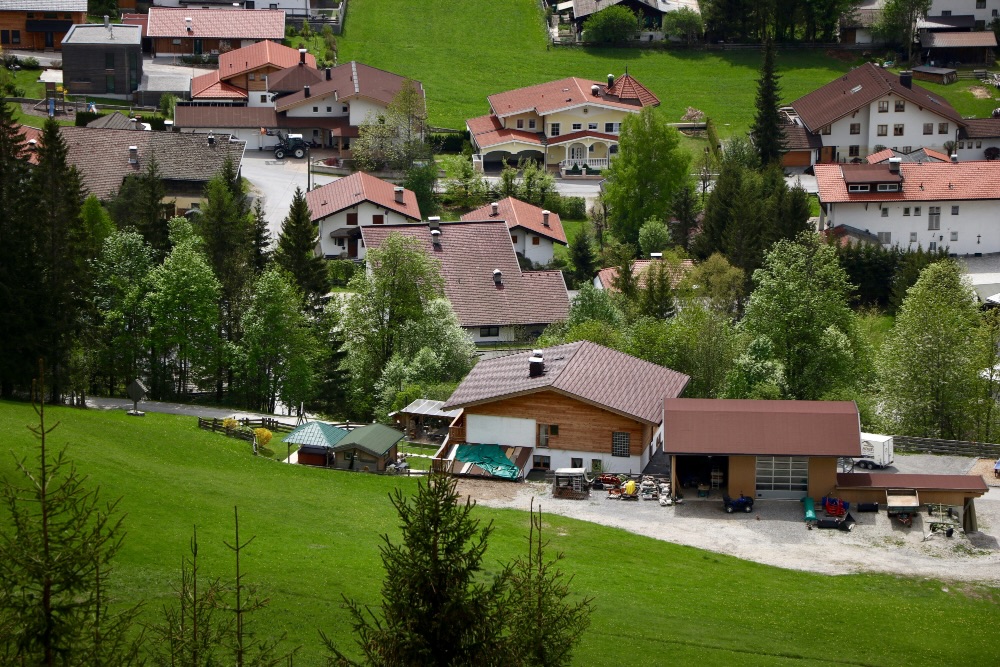
The interface between wildland and urban areas - areas that are at risk of devastating fires - has grown by 35.6 per cent between 2000 and 2020, says a study based on satellite data. The increase has accelerated since 2010 due to growing urbanisation, reaching 1.93 million square kilometres worldwide, adds the study published in Science Advances.

241108 interfaz A Regos EN
Adrián Regos Sanz
'Ramón y Cajal' postdoctoral researcher at the Biologial Mission of Galicia and head of the ECOP research group – Landscape Ecology
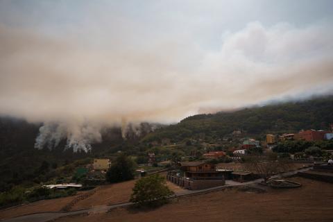
As far as I can see, the authors of this study use already available global Land Use and Land Cover maps. They analyse how the forest-urban interface changes over time and cross-reference this with MODIS satellite data of burned areas. They found an increase in the ‘urban’ category that explains the increase in the wildlife-urban interface. Considering the current large wildfire scenario we are in, an increase in the wildland-urban interface increases vulnerability to large fires. These areas are highly exposed to the impact of large fires, as they are surrounded by forest areas that are often unmanaged and without barriers or minimum safety distances.
This seems to be a solid study, although the maps used have an accuracy of around 80 % (varying between classes and years) which indicates that up to 20 % of the map pixels may be misclassified; these are limitations that the authors themselves recognise in the work. Beyond that, it is a wake-up call for current (or past) spatial planning and the current trend towards greater exposure and vulnerability to future wildfires in urban areas. Consideration should be given to how this wildland-urban interface can be reduced, and the perimeters of rural and urban areas should be secured with buffer zones or more open habitats that break the fuel (vegetation) continuum and provide opportunities for fire suppression in these areas.
241110 WUI eduardo EN
Eduardo Rojas Briales
Lecturer at the Polytechnic University of Valencia and former Deputy Director-General of the FAO
This scientific article (Yao et al. 2024) is based on a uniform, high-quality source (satellite images with a 10-metre resolution, and software capable of automatically classifying 10 land use typologies, GlobeLand30) applied to the entire land surface and analysed with the same methodology comparing the situation between 2000 and 2020 and the evolution each decade.
The article addresses an issue that has been of growing interest: the importance of the wildland-urban interface in forest fires and, by extension, in risk prevention. Although wildland urban-interface fires do not affect a large area -both on a global and on a Spanish scale- they entail considerable risks for people and property (homes, facilities, ...), a high cost for insurers, complex extinguishing and a distraction of staff that could otherwise fight large fires when they occur simultaneously. They have been receiving increasing attention in the field, but not so much in terms of statistics, especially on a global scale. This paper aims to address this deficit by identifying the temporal dynamics of the wildland-urban interface over the past 2 decades, including trends for each decade, at the scale of 14 regions of the Earth's land surface. This makes it difficult to draw conclusions for specific territories such as Spain or a part of it (Cantabrian, Mediterranean, etc.).
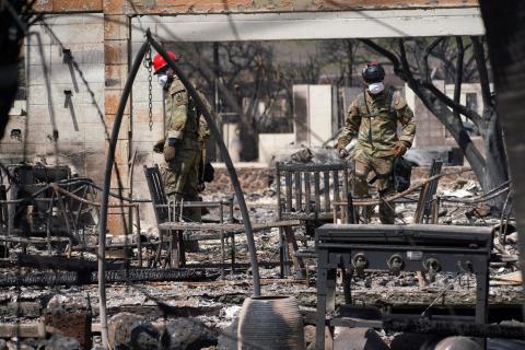
Given these shortcomings, this article does not analyse either the number of fires in wildland-urban interface areas, nor the extent and damage caused, but strictly the regional trends of this peculiar typology of land use as a first step. However, it does remind the actors involved that, in some regions –the paper analyses in detail smaller sub-national units such as California– the accelerated growth of wildland-urban interface areas leads to an obvious increase in the risk of critical situations such as those experienced in the last decade, for example in California (Paradise), Australia (Sydney) and Greece.
It is an area that requires greater attention both in the training of specialised personnel [at the postgraduate level], as well as in research and public policies adapted to this new risk. At geographically smaller scales than the global scale, it would be of interest to know in more detail the surface area affected, personal and material damage of this type of fire, discriminating the month, whether the fire originated in the urban area, in the interface or came from the forest, and the cause of the fire, in order to adapt policies more efficiently to this risk. On the other hand, it is necessary to train the population living in these areas so that they internalise appropriate self-protection behavioural patterns.
Yongxuan Guo et al.
- Research article
- Peer reviewed


